--LOGISTICS--

IF YOU'RE COMING JUST FOR THE DAY / ARRIVING IN THE MORNING:
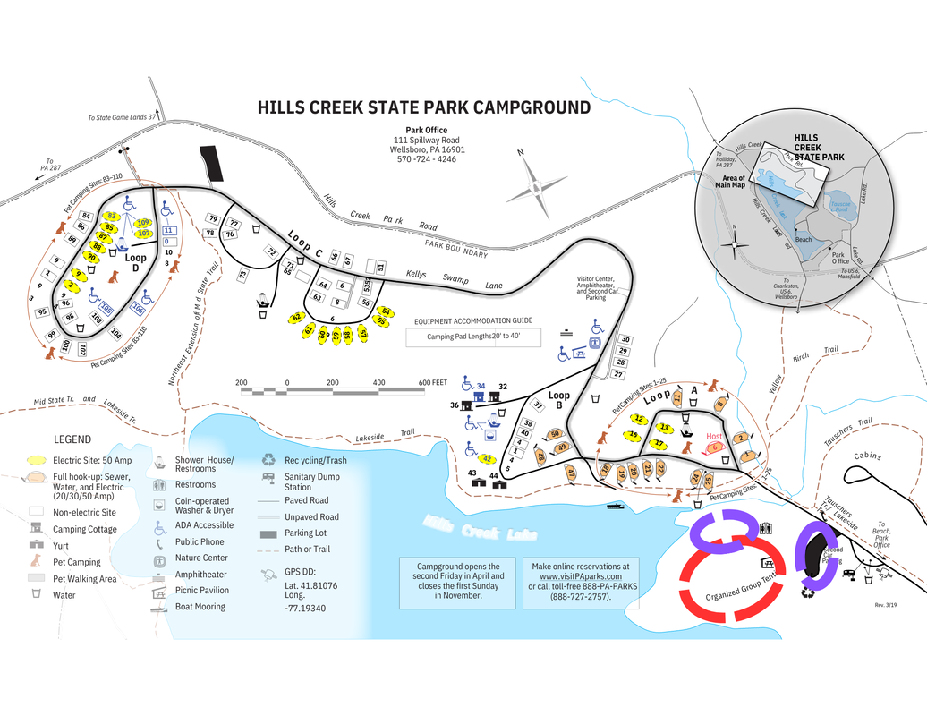
>Meet us at: Hills Creek State Park – Organized Group Tenting Area, 7:30am
>Follow KTA signs for turnoff in the park
>Map/directions to park:
coordinates 41.81136, -77.19435
111 Spillway Rd, Wellsboro, PA 16901
goo.gl/maps/eoAvztfZFe2PRYWm8
>In Tioga County about 15 minutes northeast of Wellsboro and 15 minutes west of Mansfield
IF YOU'RE STAYING OVERNIGHT:
|
Tent, Car Camp at Hills Creek Group Site
(more photos below) |
Amenities:
|
OR:
Make your own arrangements
Make your own arrangements
- You're welcome to procure your own lodging in a campsite at Hills Creek or nearby
Important notes:
Cell phone coverage: Coverage at the park is variable. Coverage on the trail can be very spotty
Food/Drink: Generally, bring your own food, drink, and cooking supplies. See FAQ (link) for recommendations. Please list any allergies or dietary restrictions on sign-up. If you’d like, you can join us for dinner out, Dutch treat, at a local restaurant on Saturday evening.
What else to bring: For more general information about the Trail Care Program and suggested packing lists, see KTA Trail Care FAQ page here.
Notes:
Under 18 must be accompanied by an adult. Please contact Jenn Ulmer, KTA Manager of Trail Maintenance and Training, at [email protected] or 570-854-8316 with any questions, or Volunteer Leader Pete Fleszar @ [email protected]/717-576-3112.
Under 18 must be accompanied by an adult. Please contact Jenn Ulmer, KTA Manager of Trail Maintenance and Training, at [email protected] or 570-854-8316 with any questions, or Volunteer Leader Pete Fleszar @ [email protected]/717-576-3112.
--Trail Work Details--
Work days:
Friday and Saturday approximately 8-4, Sunday 8-noon. Camping available starting Thursday >3pm.
Description of work:
Mid State Trail:
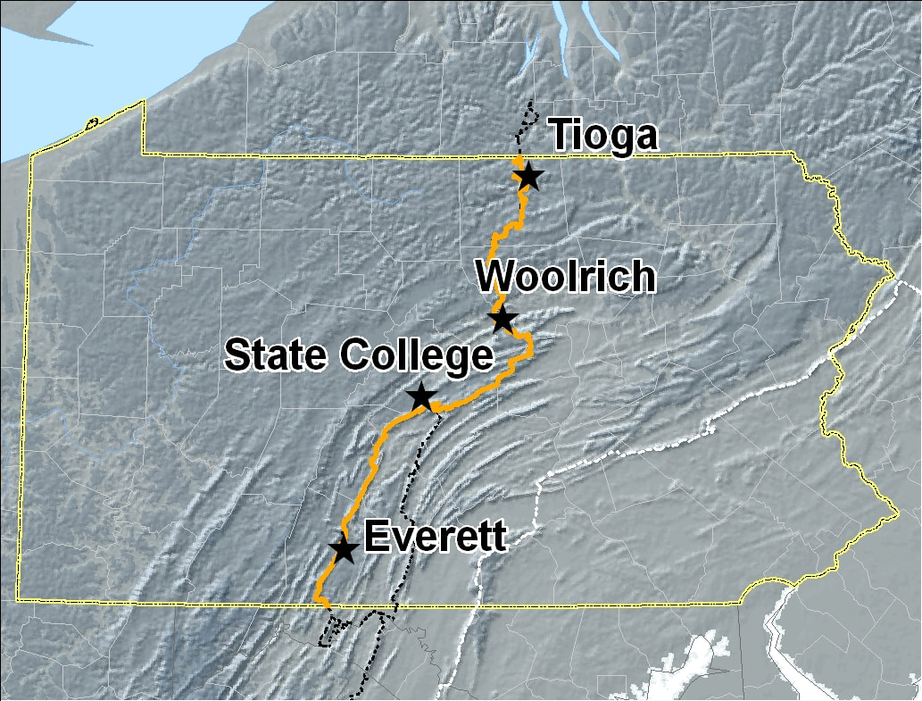
The Mid State Trail is a ~527 km / 320-mile hiking trail. It is the longest and wildest footpath in PA. In this area, it is a mix of beautiful views and natural features, with plenty of elevation change. Paper maps/guide are available for purchase from the MSTA website, and the trail’s most updated information is available digitally through the FarOut app. It is one of the 18 state forest designated hiking trails and is blazed orange.
In the Tioga Region, the footpath meanders from deep woods to old cow pastures and back and forth again and again. Highlights include the "Stairway to the Stars", Stony Creek, SAnd Run Falls, sweeping [pastoral views, coal mine and ghost town remnants, and two ACOE lakes.
Friday and Saturday approximately 8-4, Sunday 8-noon. Camping available starting Thursday >3pm.
Description of work:
- Mowing vital sections of trail in the US-6 corridor and north
- Installation of new signs in the Haunted Vista area
- Freshening blazes in Tioga State Forest
- Clearing and re-blazing Water Tank Hollow Trail from MST to Pine Creek Rail Trail
- More sites TBD
- We carpool to trail locations; please let me know if you are not comfortable riding with others or driving on gravel forestry roads. From the campground, drive times should be in the 15-45 minute range.
Mid State Trail:
The Mid State Trail is a ~527 km / 320-mile hiking trail. It is the longest and wildest footpath in PA. In this area, it is a mix of beautiful views and natural features, with plenty of elevation change. Paper maps/guide are available for purchase from the MSTA website, and the trail’s most updated information is available digitally through the FarOut app. It is one of the 18 state forest designated hiking trails and is blazed orange.
In the Tioga Region, the footpath meanders from deep woods to old cow pastures and back and forth again and again. Highlights include the "Stairway to the Stars", Stony Creek, SAnd Run Falls, sweeping [pastoral views, coal mine and ghost town remnants, and two ACOE lakes.
SIGN UP FOR 2024 TRAIL CARE #7 - Mid State Trail- Tioga, June 13-16, HERE:
(If the form below does not work for you, please try this link.)
(If the form below does not work for you, please try this link.)


