Black Forest Trail
|
The orange-blazed Black Forest Trail (BFT) may be the most challenging and rewarding backpacking resource in Pennsylvania. This spectacular long-distance loop trail leads through and above the west side of Pine Creek Gorge in the northwest corner of Lycoming County.
|
|
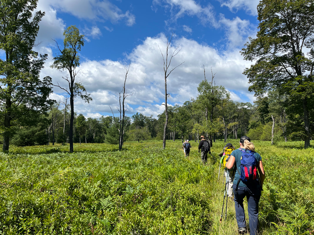
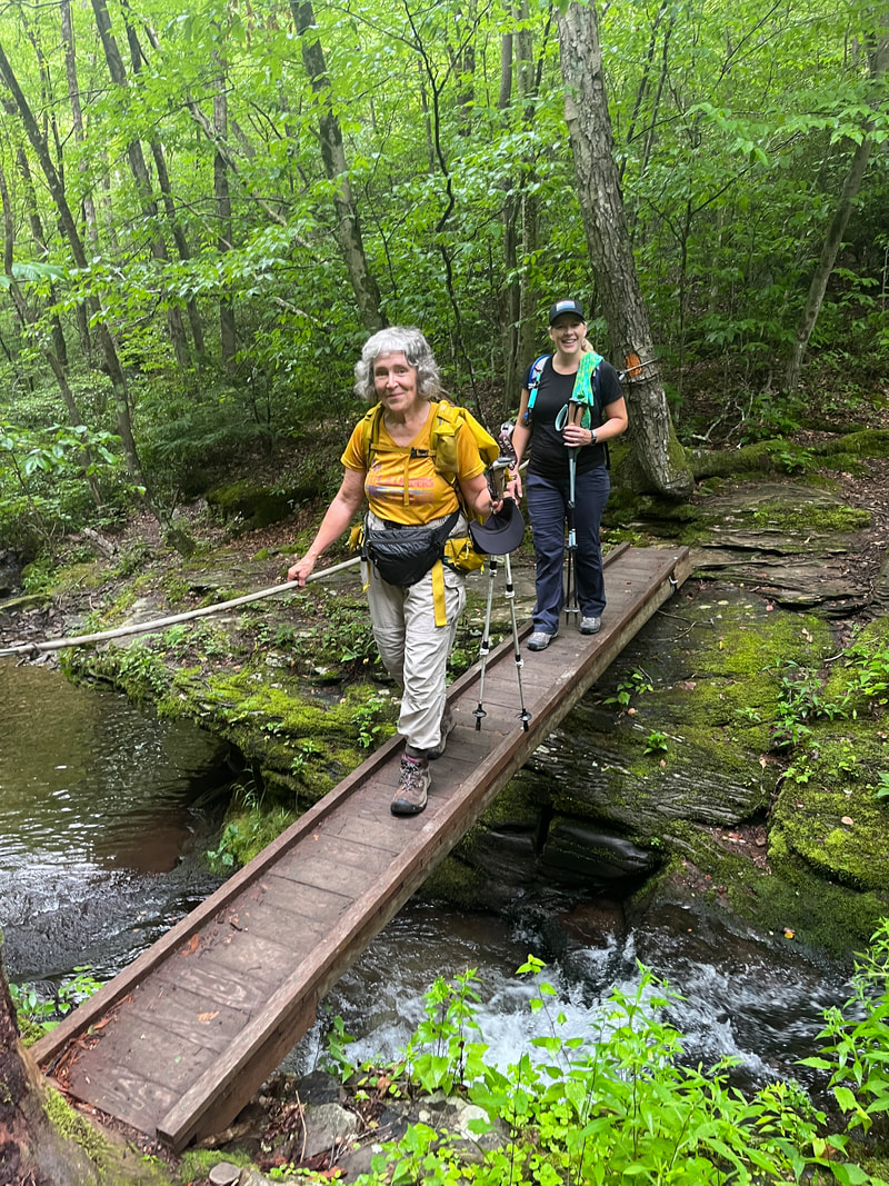
The Black Forest Trail (BFT) is a 42.8-mile loop in the Pine Creek Gorge area of Lycoming County, with some segments in Clinton and Potter Counties. The BFT may be the most challenging and rewarding backpacking trail in Pennsylvania. This rugged trail leads through and above the west side of Pine Creek Gorge, charging into and out of the chasm several times, with many very steep ascents and descents, before leveling out on top of the plateau around PA 44. The trail features dozens of expansive vistas in all directions.
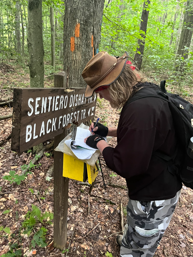
The BFT is connected to the Susquehannock Trail System via the North Link Trail and South Link Trail; and it is connected to the Donut Hole Trail via the T-Squared Trail. The BFT also features two connections with the 13.4-mile Sentiero di Shay skiing trail. The primary trailhead is in the village of Slate Run, at a bridge over the creek of the same name deep inside Pine Creek Gorge. There are also two secondary trailheads on PA 44 on top of the plateau.
The BFT is connected to the Susquehannock Trail System via the North Link Trail and South Link Trail; and it is connected to the Donut Hole Trail via the T-Squared Trail. The BFT also features two connections with the 13.4-mile Sentiero di Shay skiing trail. The primary trailhead is in the village of Slate Run, at a bridge over the creek of the same name deep inside Pine Creek Gorge. There are also two secondary trailheads on PA 44 on top of the plateau.
|
The BFT is described in the point-by-point The Black Forest Trail: A Backpacker’s Interpretive Guide by Chuck Dillon (2018), which can be purchased online from Pine Creek Outfitters at http://www.pinecrk.com/items/items.html or from PAHikes at https://pahikes.com/collections/central-pa/products/black-forest-trail-guide-and-map.
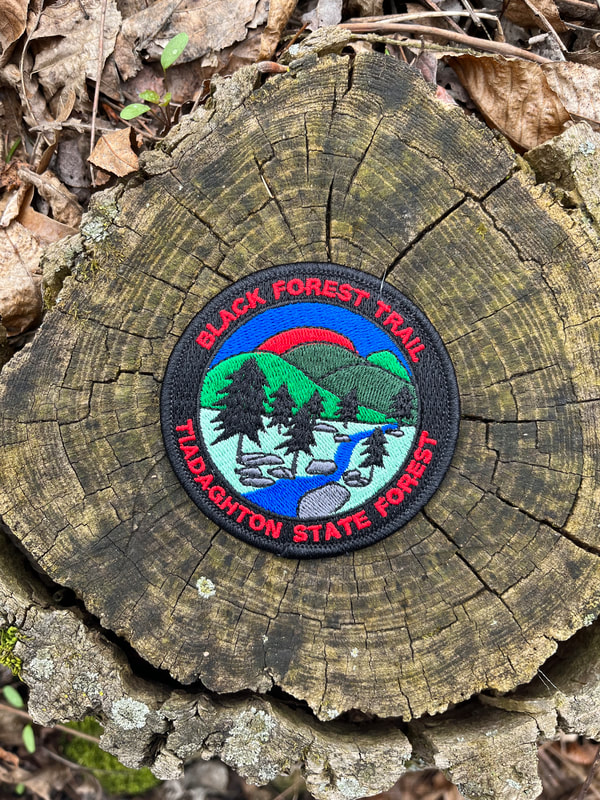
The Black Forest Trail embroidered patch is available at KTA's Bookstore. |