Bucktail Path

Map from kta-hike.org/major-trails-and-find-a-club.html
|
The Bucktail Path is a rewarding experience for seasoned hikers seeking a challenge, because it offers extra loneliness and solitude, even for wild Pennsylvania.
The Bucktail Path is an isolated and demanding trail, maintained by Elk State Forest with occasional visits by the KTA trail care team. Do not expect to see anyone else when you hike!
|
|
The Bucktail Path is not recommended for beginners, because much of the trail is very far from civilization, and there are several steep climbs and dozens of wet stream crossings. Some of the crossings require wading, though except in periods of unusually high runoff, you can easily manage the wider crossings with waterproof boots or hardened stream slippers.
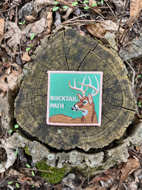
Bucktail Path patches can be purchased from KTA's online store. |
|
There are three easy road approaches to the Bucktail Path. The southern terminus is at Sinnemahoning, .7 mile west of the intersection of PA 120 and 872. At Grove Street, a sign denotes the trail; follow the street to the small parking lot just before the entrance to a private estate. You can reach the middle section of the trail via the unpaved but easily traversed Hunts Run Road, out of Cameron on PA 120 northwest of Driftwood. The northern terminus is near Sizerville State Park on East Cowley Run Road, .1 mile east of the last maintenance building as you pass through the park; the trailhead is at a grassy parking area next to a large sign denoting the area’s flora and fauna. Also from the southern terminus at Sinnemahoning, the intrepid backpacker can connect with the Donut Hole Trail by walking about a mile east on PA 120 to the village of Jericho; and the Quehanna Trail (via the Old Sinnemahoning Road Trail) by walking over the river bridge to a side street in the village of Wyside.
For camping information and permits at both Elk State Forest and Sizerville State Park vist: Pennsylvania State Parks and Forests Reservations websiteOpens In A New Window.
For camping information and permits at both Elk State Forest and Sizerville State Park vist: Pennsylvania State Parks and Forests Reservations websiteOpens In A New Window.