Donut Hole Trail
|
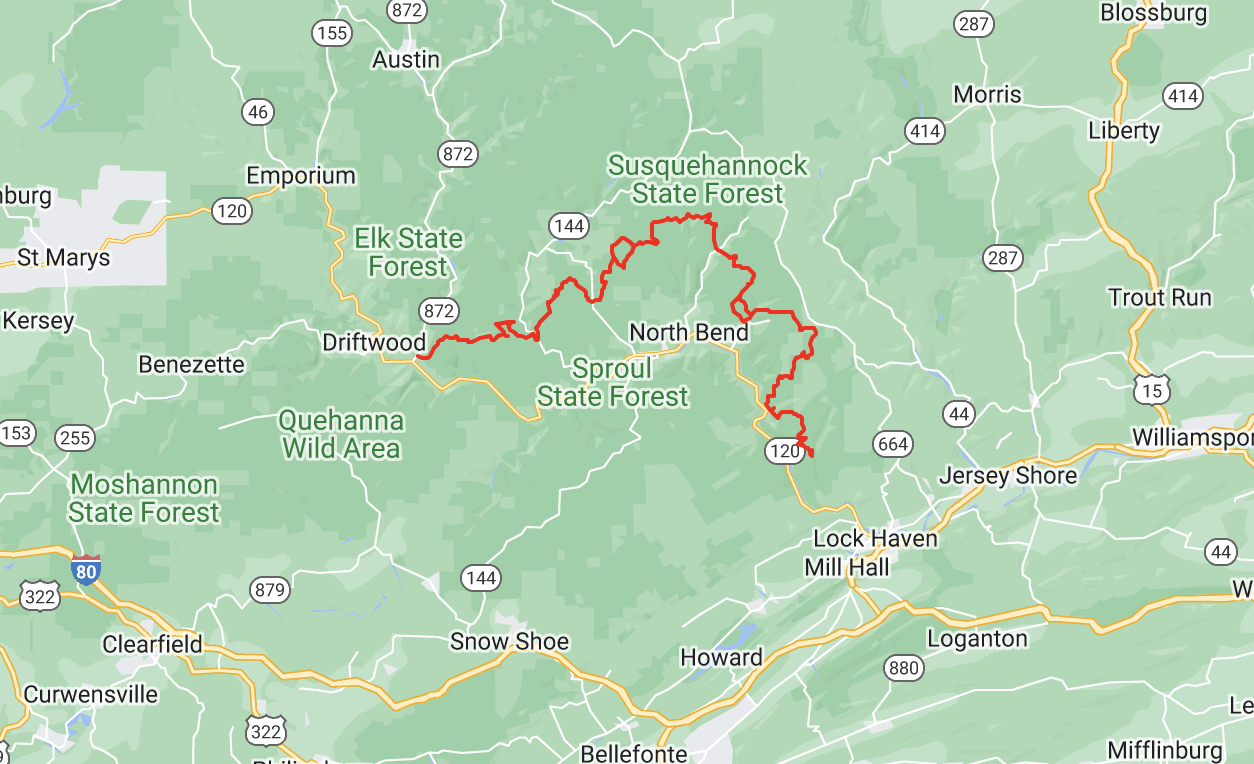
The 94.2-mile Donut Hole Trail (DHT), in Clinton and Cameron Counties, is one of the most remote and challenging of the state’s backpacking trails, with numerous steep climbs and unbridged stream crossings, and long stretches that are very far from civilization.
|
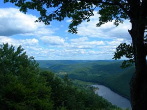
 Kettle Creek Vista
The DHT begins at the village of Jericho and heads to the east and northeast, through Sproul State Forest and roughly parallel to the West Branch Susquehanna River. It passes through Kettle Creek State Park then reaches a junction with the Susquehannock Trail System, sharing the same path with that trail for 8.6 miles. After departing from that trail, the DHT heads southeast and passes through Hyner Run State Park. In 2016 the DHT was extensively relocated south of that park, and it now passes through Hyner View State Park and remote undeveloped areas managed by the Nature Conservancy of Pennsylvania. The DHT rejoins its previous route near the ghost town of Whetham, then continues to its eastern terminus at the village of Farrandsville near Lock Haven.
The western terminus of the DHT at Jericho is less than two miles via road from both the southern end of the Bucktail Path and the northern end of the Old Sinnemahoning Trail, which leads to the Quehanna Trail. The DHT is also connected to the Black Forest Trail via the T-Squared Trail, and it is connected to the Chuck Keiper Trail via the Jack Paulhamus/Garby Trail.
The western terminus of the DHT at Jericho is less than two miles via road from both the southern end of the Bucktail Path and the northern end of the Old Sinnemahoning Trail, which leads to the Quehanna Trail. The DHT is also connected to the Black Forest Trail via the T-Squared Trail, and it is connected to the Chuck Keiper Trail via the Jack Paulhamus/Garby Trail.
|
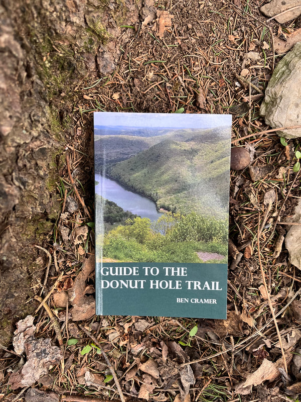
The DHT is described in the point-by-point Guide to the Donut Hole Trail by Ben Cramer (2020), along with the embroidered patch, are available at the KTA Bookstore.
|


