Laurel Highlands Hiking Trail
|
The Laurel Highlands Hiking Trail (LHHT) is one of the finest natural trails in Pennsylvania. In winter, the trail supports cross-country skiing and snowshoeing, both of which can be combined with winter backpacking.
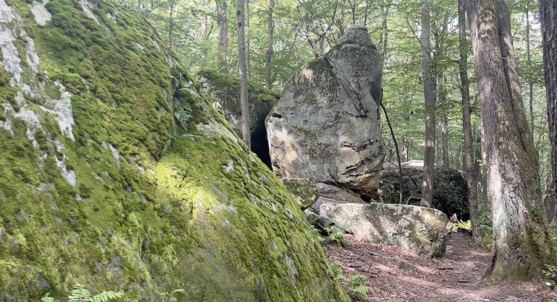
Some portions of the trail, especially near the southern end, are quite rugged, and provisions have been made to keep the trail as primitive as possible. Hikers are also encouraged to create in-and-out day hikes on the trail, given its diverse character and scenery. In particular, wildflowers are widespread in the spring, and the views off the mountain are enhanced in the winter. The ridge provides several natural vistas overlooking the nearby valleys and a huge expanse of uninterrupted forest. |
|
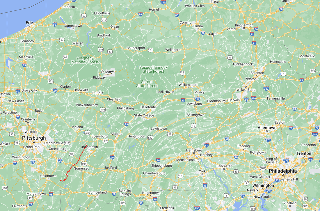
The Laurel Highlands Hiking Trail extends for 70.1 miles from Conemaugh Gorge near Johnstown to the rugged and picturesque Youghiogheny River Gorge at Ohiopyle State Park. The northern terminus is a few miles east of Seward off PA 56, and the southern terminus now connects with the Great Allegheny Passage (see the Long-Distance Trails chapter) at Ohiopyle. Most of the trail is on Laurel Mountain, with a high average elevation, topping out above 2,700 feet, but there are some sections where it drops 1,000 feet or so to the valley floor (usually to avoid private land) or winds across the plateau of Fayette and Somerset Counties at a slightly lower average elevation. A short distance northwest of Somerset, the trail crosses the Pennsylvania Turnpike on a footbridge over the expressway.
There are eight overnight shelter areas along the trail, situated 8 to 10 miles apart. Each contains five shelters with tent pads, two comfort stations, a fireplace, and water sources. These overnight areas are not directly on the trail, but are set back somewhat to retain a wilderness atmosphere. The shelters are of the Adirondack type, constructed of lumber to blend in with the environment, and each can accommodate six people. These shelter areas can be reached only on foot, and overnight camping is by mandatory reservation with a required fee. Overnight stays are limited to one night at each shelter area. Call Laurel Ridge State Park at (412) 455-3744 prior to your trip for reservations.
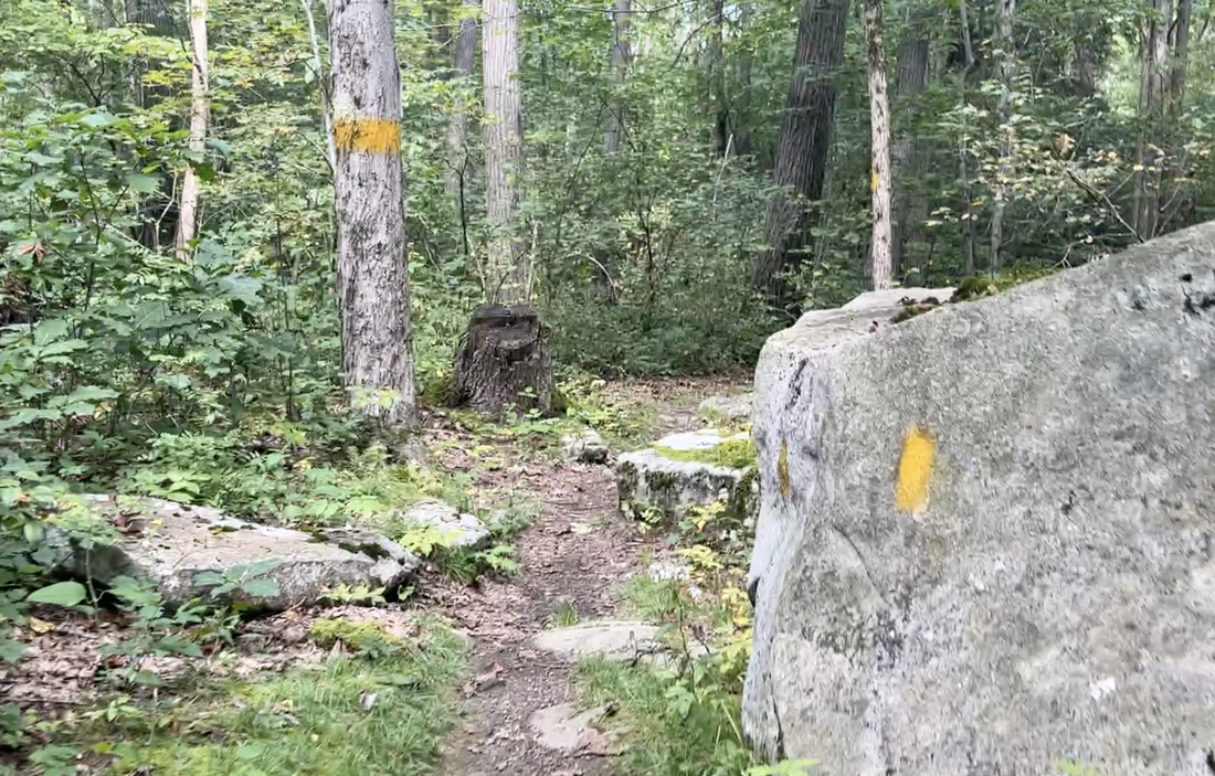
The Laurel Highlands Hiking Trail has 2-by-5-inch yellow blazes. Large signs indicate access points, and markers appear at every mile. When using the trail, abide by the governing rules and regulations posted at parking lots and camping areas. The regulations are also available at the headquarters of Laurel Ridge State Park. The trail passes through that mostly undeveloped park, which was conceived and designed with the day hiker and backpacker in mind. In the winter, the park houses a major cross-country ski center with rentals, food, and lessons available.
The Allegheny Group of Sierra Club has published the Hikers Guide to the Laurel Highlands Trail. The guide includes trail descriptions; information on the local geology, flora, and fauna; topographic maps and elevation profiles; advice on planning hikes and backpacking trips; and a list of hiking organizations in the area. For more information visit their website.
A color trail brochure, with descriptions of trailhead parking areas, an elevation chart, and a trail map in a durable paper folder, is available from the state park.


