Loyalsock Trail
|
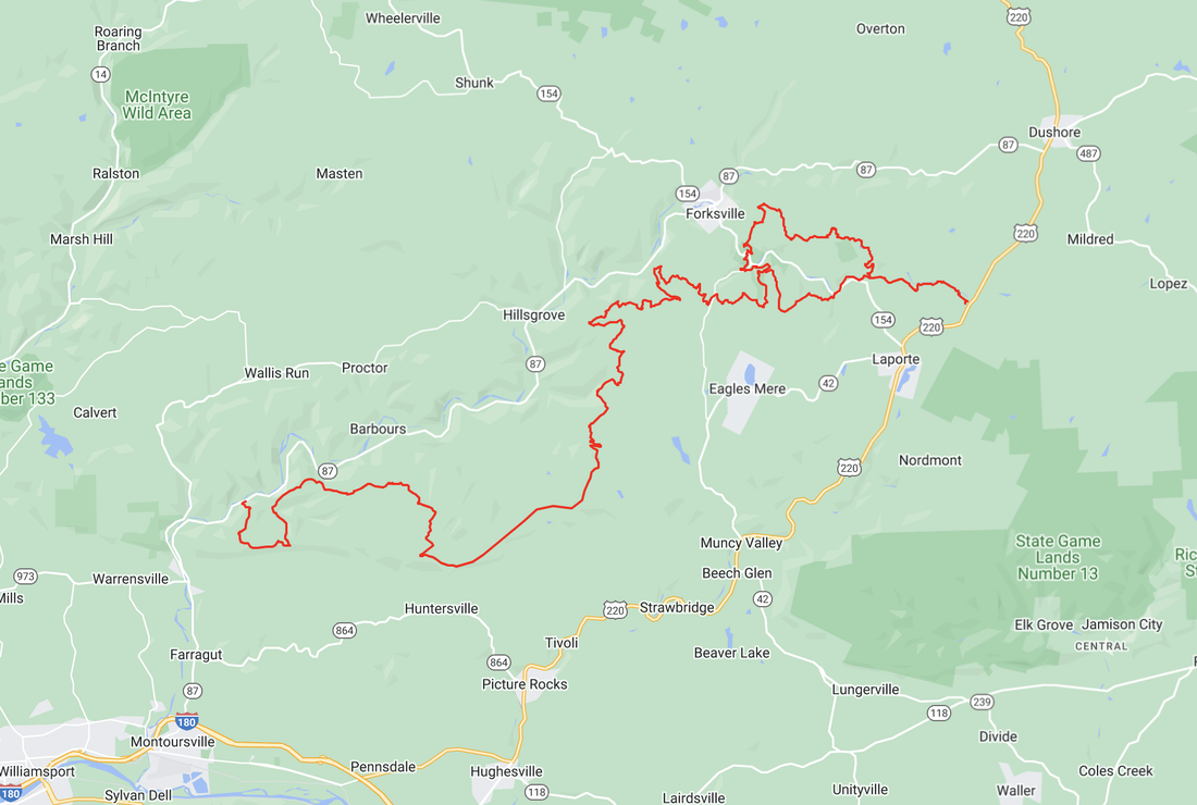
The Loyalsock Trail is a 59.2-mile backpacking trail in Lycoming and Sullivan Counties, with several lengthy spurs called “Red X” Trails.
The name Loyalsock is derived from the Native American name Lawi-Saquick, meaning “Middle Creek,” because the creek now known by that name is situated between Muncy Creek and Lycoming Creek. Loyalsock Creek rises in Wyoming County and empties into the Susquehanna River at Montoursville. The scenic and challenging Loyalsock Trail (LT) runs roughly parallel to its namesake creek. The LT frequently climbs up and down ridges and mountaintops, passing many waterfalls, lakes, ponds, and historic places. The trail is known for its many fine vistas. Beware of stinging nettles and briars, which are becoming a serious challenge along this trail. |
|
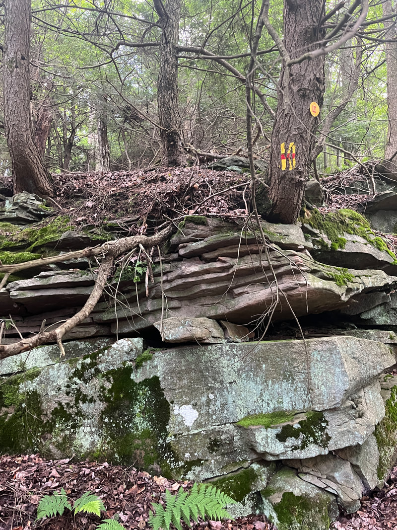
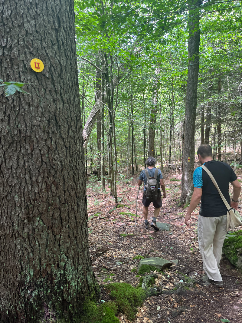
The Loyalsock Trail is maintained by the Alpine Club of Williamsport. The group marks the main trail with high-quality 2-by-6-inch yellow rectangles with 1-inch horizontal red stripes. Originally the trail was marked by tin can lids painted red with a yellow “LT,” and many of these are still present. Side trails are marked with yellow can lids bearing a red X. Lead-in trails are marked with blue metal disks. Side trails marked with white blazes are not actively maintained.
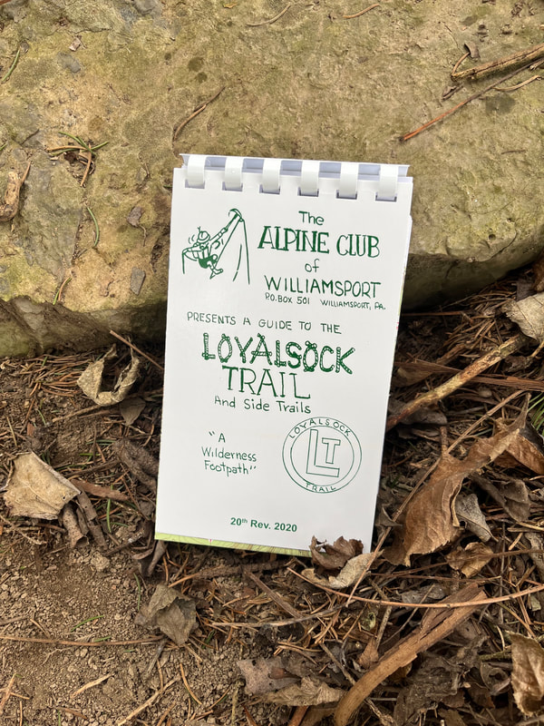
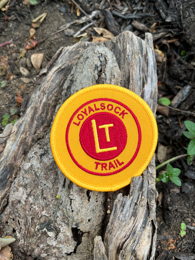
The western terminus of the LT is on PA 87, 8.6 miles north of I-180/US 220 at Montoursville. The eastern terminus is on Mead Road just off US 220 near Ringdale. The trail is shown on the public-use map for Loyalsock State Forest. The Alpine Club publishes a detailed guidebook with maps that divide the trail into eight sections, all with road access at each end. The club also offers an embroidered LT patch, which anyone who has hiked at least 10 miles of the trail can purchase.
Contact:
Alpine Club of Williamsport
P.O. Box 501
Williamsport, PA 17703
