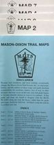
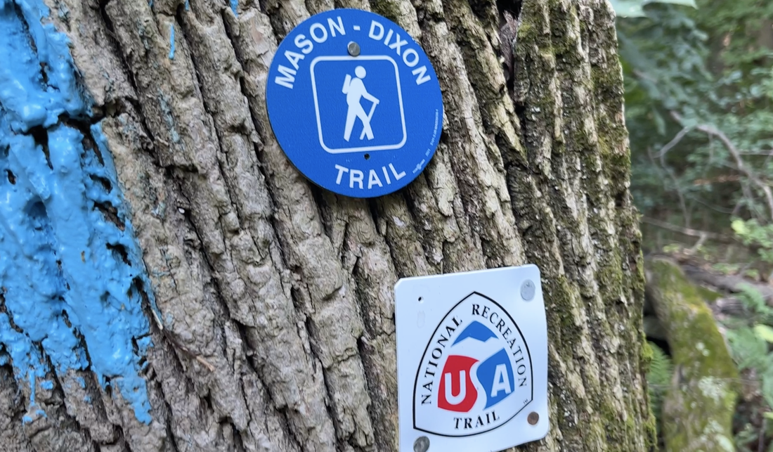
Keystone Trails Association
  • About
    • News >
      • Newfoundland 2024 Trip Report
      • Newsletter Archive
      • Meet PA Hikers
      • Trail Care Stories
    • Contact
    • About KTA
    • Work For KTA
    • Strategic Plan
    • Volunteer with KTA
    • Our People
    • Our Story
    • Diversity & Inclusion
    • Press
    • Multimedia
  • GET INVOLVED
    • Advocacy >
      • Protect Hiking and Trails in Pennsylvania
      • Kids Trail Ambassador Program
    • Donate >
      • Monthly Giving: Keep Trails Alive
      • Planned Giving: The Heritage Society
      • Giving for the Future: Endowment Fund
    • Membership
    • Events >
      • 2026 St. John Trail Care
      • Bermuda Afoot 2026
      • Keystone Trails Symposium >
        • Trails Symposium Survey
      • Scholarships
  • GET OUTDOORS
    • Accessible Philadelphia
    • Favorite Pennsylvania Hiking Trails
    • KTA Gear Loaner Program
    • Trails
    • Pennsylvania Hiking Trail Trailers
    • Maps
  • Trail Care Program
    • FAQs Trail Care
    • Report a Trail Issue
    • 2025 Weekday Trail Cares
    • Trail Love Events
    • KTA’s A.T. Section
  • Hiking Awards
  • Store
  • CLUBS
    • Hiking Clubs
    • KTA Grants-to-Clubs
    • Report Club Hours
  • Spring Hiking Weekend Activity Proposal

Mason-Dixon Trail

The 193-mile, blue-blazed, long-distance Mason-Dixon Trail starts at Chadds Ford near the Delaware border. It heads south to Newark, Delaware, then enters Maryland, passing through Elk Neck State Park and crossing the Susquehanna River to Havre de Grace. The trail then follows the west bank of the river for 65 miles north to Wrightsville, Pennsylvania. In this stretch, it passes Conowingo Dam, Peach Bottom, Lock 12, Otter Creek Family Campground, Holtwood Dam, and Long Level. From Wrightsville, the trail heads west to Gifford Pinchot State Park and ends at the Appalachian Trail near Mount Holly Springs.
Picture
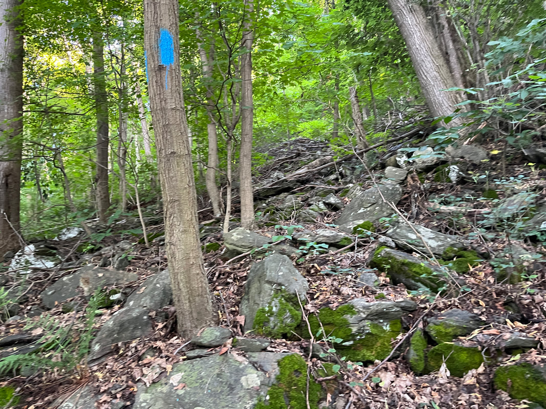
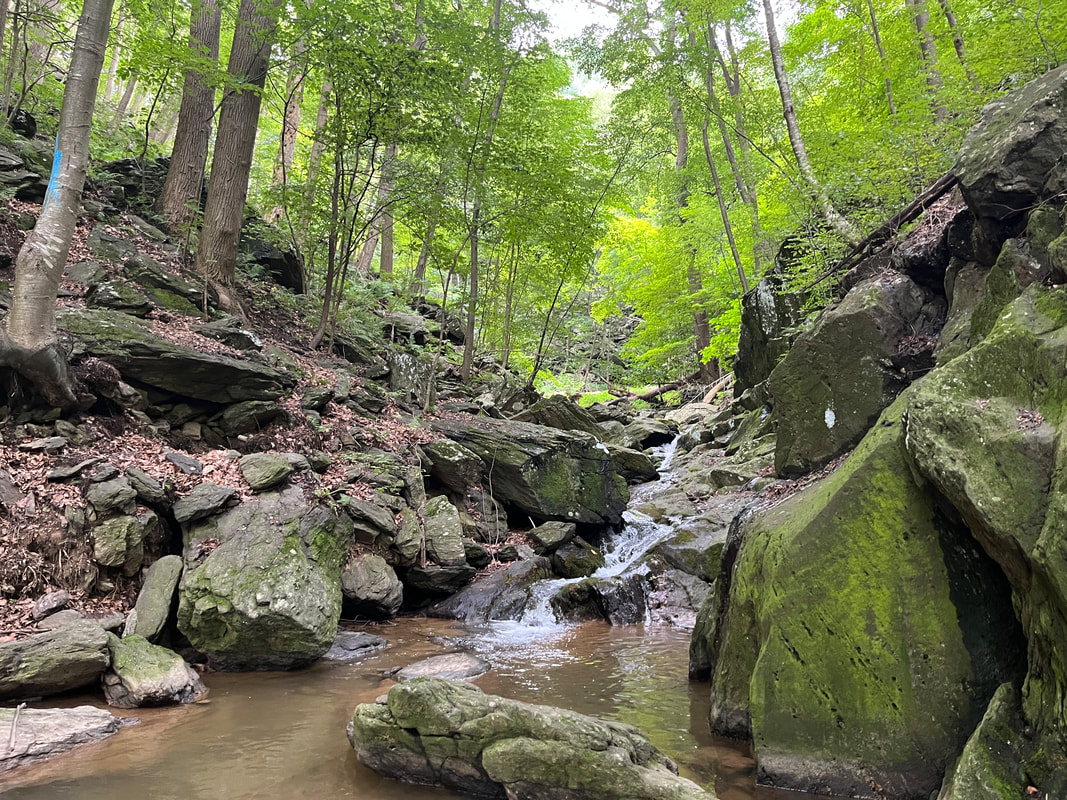
Hiking along backroads in Delaware and Maryland takes you past beautiful old homes, farms, and rural scenery. In York County, the river bluffs rise about 800 feet above the Susquehanna, providing spectacular views as well as aerobic exercise. Maps and a guidebook are available, along with information about the trail on their web site.
Picture
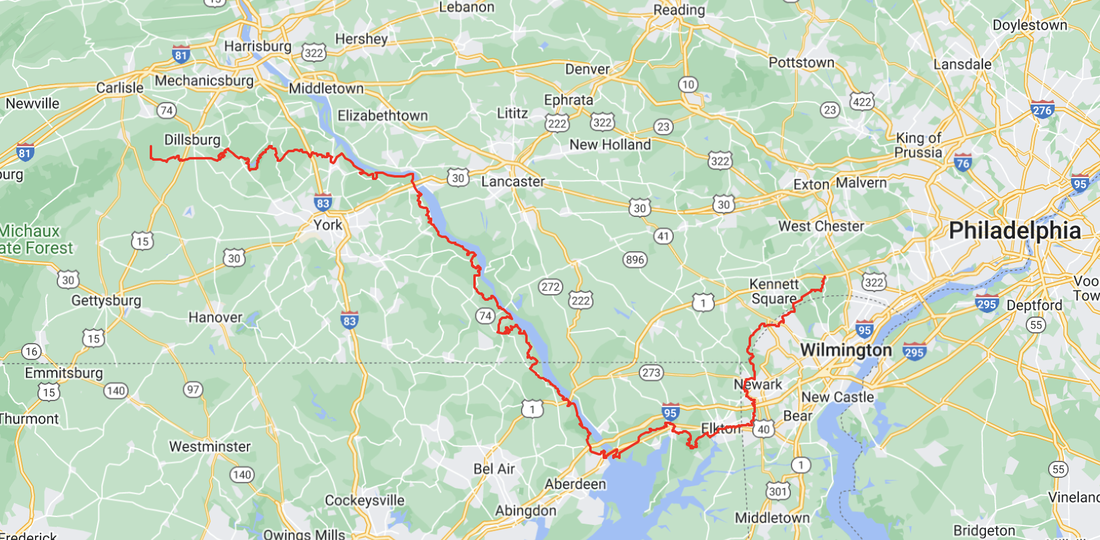
Map from https://www.kta-hike.org/major-trails-and-find-a-club.html
Picture
Picture
Mason-Dixon Trail Maps are available in KTA's Bookstore
Picture

Sign up for our newsletter:

Name:
Email:
Confirm that you are not a bot.
×

Learn

Hike With Us
Find a Trail
Take a Class

Contact

Contact KTA
Our Team
​Manage Your Account

Get Involved

Volunteer with Trail Care
Become a Member
Get our Newsletter
Picture
© COPYRIGHT 2023. ALL RIGHTS RESERVED.
  • About
    • News >
      • Newfoundland 2024 Trip Report
      • Newsletter Archive
      • Meet PA Hikers
      • Trail Care Stories
    • Contact
    • About KTA
    • Work For KTA
    • Strategic Plan
    • Volunteer with KTA
    • Our People
    • Our Story
    • Diversity & Inclusion
    • Press
    • Multimedia
  • GET INVOLVED
    • Advocacy >
      • Protect Hiking and Trails in Pennsylvania
      • Kids Trail Ambassador Program
    • Donate >
      • Monthly Giving: Keep Trails Alive
      • Planned Giving: The Heritage Society
      • Giving for the Future: Endowment Fund
    • Membership
    • Events >
      • 2026 St. John Trail Care
      • Bermuda Afoot 2026
      • Keystone Trails Symposium >
        • Trails Symposium Survey
      • Scholarships
  • GET OUTDOORS
    • Accessible Philadelphia
    • Favorite Pennsylvania Hiking Trails
    • KTA Gear Loaner Program
    • Trails
    • Pennsylvania Hiking Trail Trailers
    • Maps
  • Trail Care Program
    • FAQs Trail Care
    • Report a Trail Issue
    • 2025 Weekday Trail Cares
    • Trail Love Events
    • KTA’s A.T. Section
  • Hiking Awards
  • Store
  • CLUBS
    • Hiking Clubs
    • KTA Grants-to-Clubs
    • Report Club Hours
  • Spring Hiking Weekend Activity Proposal